S5. Hike #7 - Upper Table Rock
S5. Hike #7 - Upper Table Rock
Starting Location: Upper Rock Trailhead
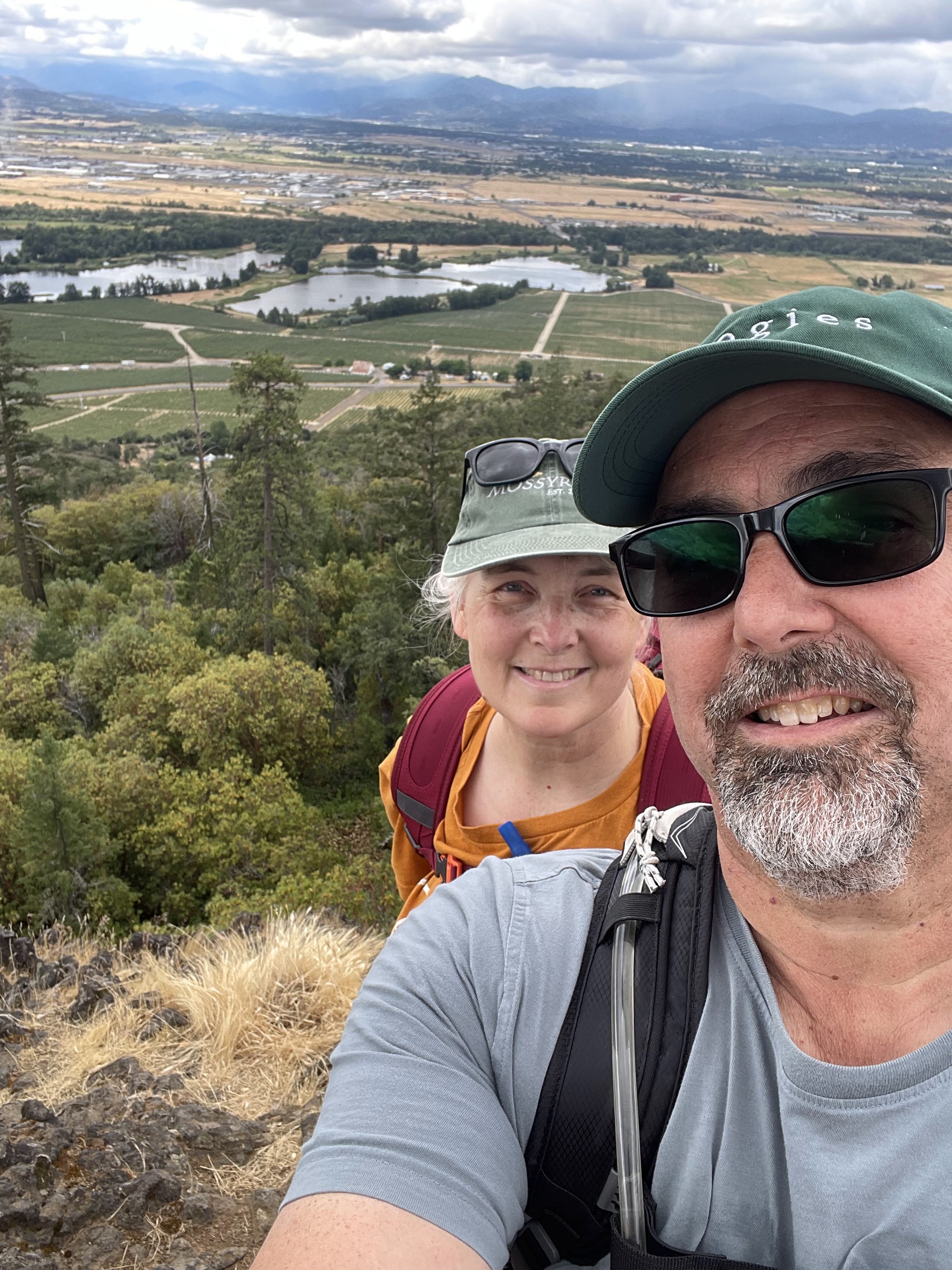
Point of Interest : Great views of the valley and surrounding mountains, geology,
Distance: about 3 miles, depending on path at the top.
Difficulty: Easy to moderate. Some rocky areas on the trail

Parking: paved lot with decent amount of parking
EV Chargers: No
I've driven by Table Rock a lot of times in my life, always wondering what the view from the top would be like. We were in town for a wedding nearby, and had the time for a hike, so we headed up.
We were staying in Eagle Point, and it was only a 15 minute drive to the Upper Table Rock Trailhead.
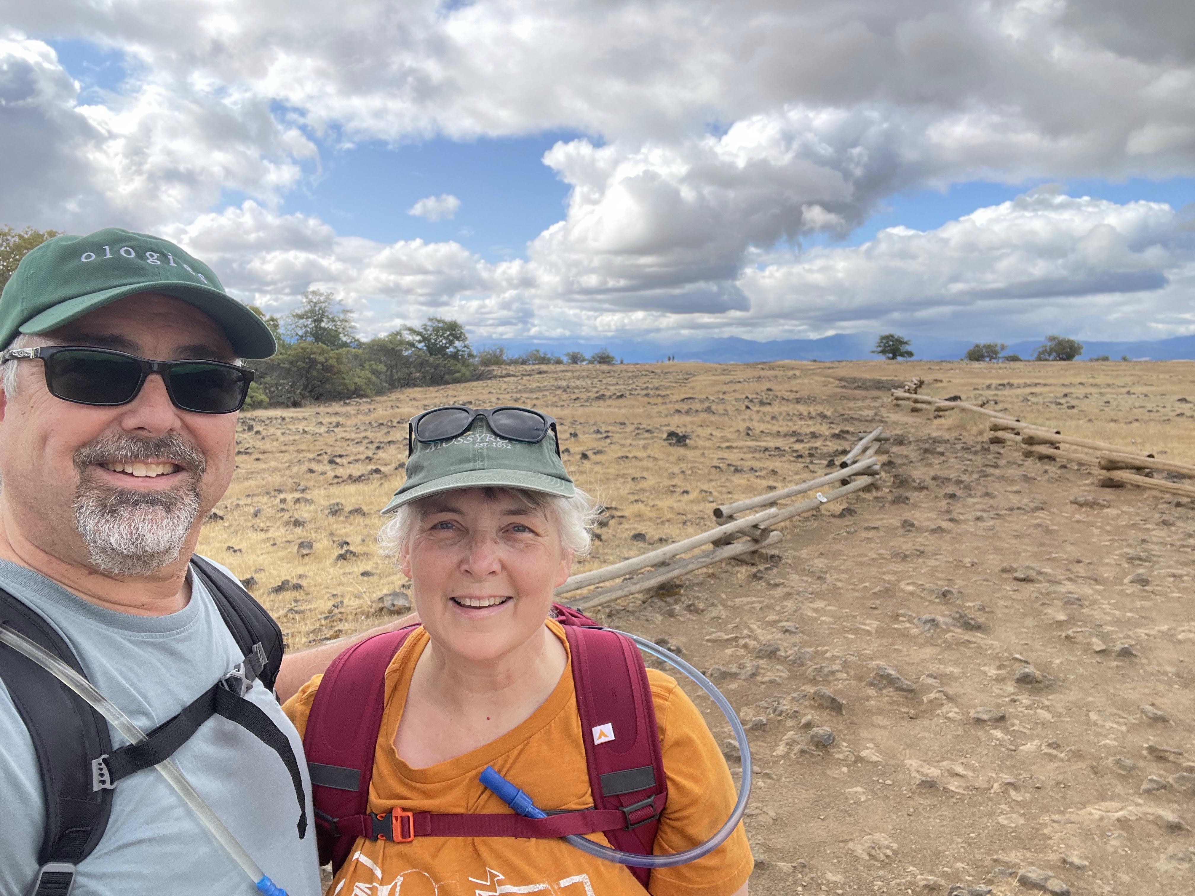
Did you know that there are 2 Table Rocks? I did not know this until today. There is Upper and Lower Table Rock. Upper is to the East and is a bit taller. The views as you climb are amazing. We got there around 9am, and there were not many hikers, plenty of parking. The weather was perfect for hiking.
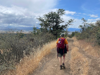
The path is well marked and easy to follow. There are a few parts where it's steeper and rocky, so you have to watch your feet.
 The trail to the top is about 1.2 miles, and it is pretty flat, just like it looks from afar. It's pretty rocky still, but a path winds around the rim.

There are no dogs allowed on this hike, due to rocky path and also endangered flora and fauna. Also, lots of poison oak along the edge of the trail.
 We lucked out with the weather. I took off my long sleeves a long the trail. I did put them back on right before we headed down because the wind picked up a bit, and you can see the grey clouds heading our way.

Lots of birds here, especially turkey vultures.

This was a great hike. Great view, great weather (we did get a bit of rain right at the end), good length of hike, and great company.
Now, we'll have to return to do Lower Table Rock sometime.


Comments
Post a Comment